 Alker Aviation
Drone forest inspection and mapping
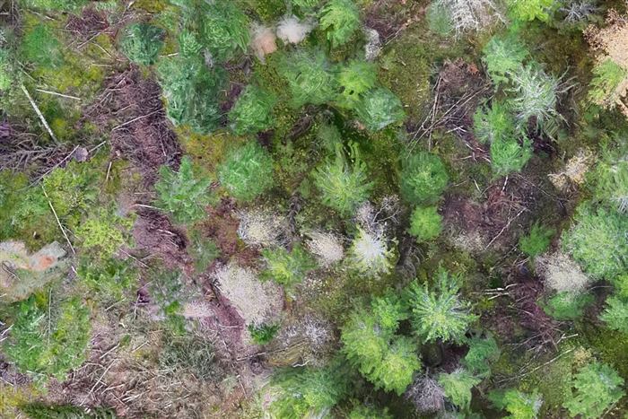
Drone images provide an overview of forest areas, canopy, edges and visible terrain. Sensor choice and flight planning depend on whether the goal is visual documentation, mapping or a three-dimensional representation.
What do we capture?
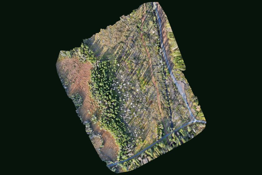
Overlapping RGB images can be processed using photogrammetry into an orthophoto and point cloud. An orthophoto is a geometrically corrected aerial image used as a map layer. LiDAR measures distances with laser pulses and may capture ground points through vegetation gaps. Dense forest limits visibility; RGB imagery usually shows the canopy, not the forest floor.
How can the data be used?
Data can support surveys of visible storm damage, access planning and comparisons between flights. Point clouds can produce surface models and, with sufficient ground returns, terrain models. Stand volume and health cannot be established reliably from overview photographs alone.
What can we document?
- Dead spruce and dying trees with grey or reddish-brown crowns
- Possible bark beetle infestation (spruce bark beetle) to be checked on the ground
- Windthrow, uprooted trees and storm felling after bad weather
- Fallen trees across forest roads, trails, streams and power lines
- Snow break and broken tops in young and mature stands
- Clear-cuts, felling areas and retained trees after harvesting
- Canopy gaps, clearings and sparse regeneration
- Rutting, soil damage and erosion along extraction tracks
- Seepage, flood damage, landslips and slides in forest terrain
- Forest edges, stand boundaries and need for pre-commercial thinning
Drone images show visible signs. Causes, extent and remedies must be assessed by a relevant specialist.
Deliverables and models
Orthophotos, point clouds, terrain models or 3D views are agreed according to purpose. Coordinate system, resolution and accuracy checks must be defined before capture. RTK positioning can support georeferencing but does not itself guarantee model accuracy.
Images and examples